A shared-use track to Summit Road connecting to the Crater Rim Walkway and over to the network of tracks above Governors Bay.
| Start | Car park at the end of Worsleys Road |
|---|---|
| Finish | Summit Road |
| Distance | 2.5 km |
| Time | 45 minutes one way |
| Toilets | Located at the Sign of the Kiwi and Sign of the Bellbird |
| Dogs | On leash only |
| Description |
From the end of Worsleys Road, this shared-use track threads a route along a gentle ridge between pine forest before arriving at the Summit Road. Watch out for mountain bikers. The track provides a connection to the Crater Rim Walkway and over to the network of tracks above Governors Bay in the Ohinetahi Bush Reserve. Get ready for this track using Plan My Walk(external link) by the NZ Mountain Safety Council. You can find track alerts, weather forecasts, trip reviews and a packing list, so you are set for your adventure. |
Walking tracks
Shared use
Connecting tracks
Closed

Parking

Bus stop

Toilets
Water fountains
Accessible tracks

Challenging feature

Entry and exit point

Point of interest
Related news

Central city on full display after long rebuild
After the 15th anniversary of the 22 February earthquakes, we’re taking a look at different Council aspects of the rebuild, and how far we’ve come. Next up, the central city.
27 Feb 2026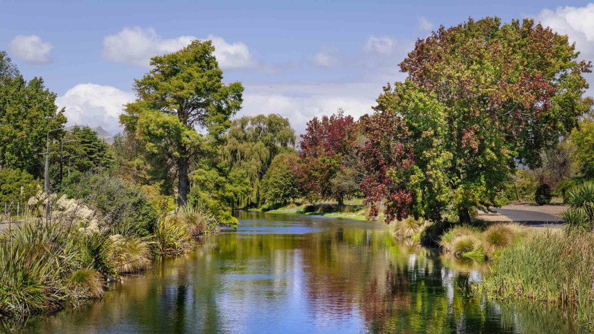
Ōtākaro Avon River Corridor shines, grows since quake
In the wake of the 15th anniversary of the 22 February earthquakes, we’re taking a look at different Council aspects of the rebuild, and how far we’ve come. Next up, the residential red zone's Ōtākaro Avon River Corridor (OARC).
26 Feb 2026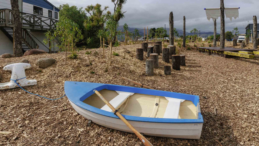
New play space at Lyttelton’s Naval Point now open
A ‘sinking ship’, monkey bars and dinghy are all features of a new play space at Naval Point.
14 Jan 2026