There are a number of short walking opportunities from the car park on Hillsborough Terrace. Refer to the display panel at the car park for more detail.

The walking tracks in Mt Vernon are managed by the Port Hills Park Trust Board. Find more information about Mt Vernon Park trust(external link).
| Start | End of Hillsborough Terrace, Hillsborough |
|---|---|
| Finish | Rāpaki Track car park, Summit Road |
| Distance | 3.5 km |
| Time | 45 minutes one way |
| Dogs | Dogs must be on a leash |
| Toilets | Located at Vernon Terrace/Centaurus Road corner |
| Description |
A sheltered walk that will take you up towards Summit Road and can be turned into a loop by incorporating the Rāpaki Track. Start this narrow track at the main car park off Hillsborough Terrace and sets off through an area of native trees in the lower valley. The track emerges out into open grassland and follows the valley floor up to a small shelter. From here, it winds up the valley where you can create a circuit with either Rāpaki or Marette Taylor Tracks. Get ready for this track using Plan My Walk(external link) by the NZ Mountain Safety Council. You can find track alerts, weather forecasts, trip reviews and a packing list, so you are set for your adventure. |
| Start | Junction with Dry Ridge Track, Mt Vernon Park |
|---|---|
| Finish | Junction with Valley Track, Mt Vernon Park |
| Distance | 865 m |
| Time | 20 minutes one way |
| Dogs | Dogs must be on a leash |
| Description |
Marette Taylor is a narrow gradually climbing track that runs along the hillside above the Valley Track in Mt Vernon Park. Combine with the Valley track to create a good circuit or use it as an alternative route to access the Rapaki Track. Start by following Dry Ridge Track from the car park at the end of Hillsborough Terrace then instead of climbing to the ridge, follow the track that continues sidling the slopes up the valley. |
| Start | End of Hillsborough Terrace, Hillsborough |
|---|---|
| Finish | Rāpaki Track |
| Distance | 750 m |
| Time | 20 minutes one way |
| Dogs | Dogs must be on a leash |
| Description |
Rogers Track provides a useful and quick link from the car park at the end of Hillsborough Terrace up to Rāpaki Track. From the car park, follow the Valley Track for 200m until you come to a signpost to Rogers Track. From here, the track zig-zags up the hill until it connects with Rāpaki Track. |
| Start | End of Hillsborough Terrace, Hillsborough |
|---|---|
| Finish | Intersection with the Gorge Track, Mt Vernon Park |
| Distance | 1 km |
| Time | 25 minutes one way |
| Dogs | Dogs must be on a leash |
| Description |
A short walk up the western side of the valley, Dry Ridge Track is often used to connect with other tracks to create a circuit. From the car park, take the right fork up through the trees and past the cave. The track zig-zags steeply up through bluffs on the west side of the Valley and onto a spur. Continue up the spur for a short distance to a panel table. A return trip can be made via the Mt Vernon Farm Track or you can continue a little further to join the Gorge Track. You can also access the Marette Taylor Track –an alternative route to Rāpaki Track – which begins on your left after 5 minutes along the Dry Ridge Track. Get ready for this track using Plan My Walk(external link) by the NZ Mountain Safety Council. You can find track alerts, weather forecasts, trip reviews and a packing list, so you are set for your adventure. |
| Start | End of Hillsborough Terrace, Hillsborough |
|---|---|
| Finish | Lamar car park, Summit Road |
| Distance | 2.5 km |
| Time | 45 minutes one way |
| Dogs | Dogs must be on a leash |
| Description |
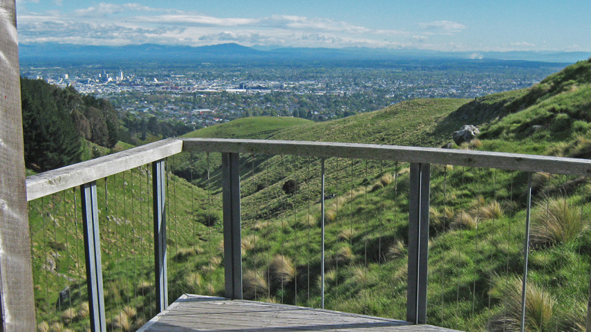
A shared-use track providing a direct route up to Summit Road for mountain bikers and walkers. There are great views out over the city and Canterbury Plains. Parking is provided at the car park at the end of Hillsborough Terrace. From here, follow Dry Ridge Track up and over the crest of the spur until you reach an intersection with a 4WD track. Continue up the easy-to-follow 4WD track which eventually comes out onto the Summit Road beside Lamar car park. You can return the same way or join the Mt Vernon Shared Use Track to connect with either the Rāpaki Track to the east or Huntsbury Track to the west. Get ready for this track using Plan My Walk(external link) by the NZ Mountain Safety Council. You can find track alerts, weather forecasts, trip reviews and a packing list, so you are set for your adventure. |
| Start | End of Albert Terrace or car park at Hillsborough Terrace via Dry Ridge Track |
|---|---|
| Finish | Farm Track |
| Distance | 1.8 km |
| Time | 35 minutes one way |
| Dogs | Dogs must be on a leash |
| Description |
Connect with the Farm Track, Dry Bush Track or Dry Ridge Track to make an interesting loop with a variety of terrain and vegetation. At the start of the track, there is a small footbridge before the gorge and a diversion heads uphill at this point to traverse above the cliffs through the pine forest. It then drops down to meet the old track and follows the stream to come out onto open farmland. Beyond this point, it meets a track intersection where you can continue along the Dry Bush Track or take a left turn up to the Farm Track. Get ready for this track using Plan My Walk(external link) by the NZ Mountain Safety Council. You can find track alerts, weather forecasts, trip reviews and a packing list, so you are set for your adventure. |
| Start | End of Hillsborough Terrace, Hillsborough |
|---|---|
| Finish | Lamar car park, Summit Road |
| Distance | 2.6 km |
| Time | 1 hour one way |
| Dogs | Dogs must be on a leash |
| Description |
A lesser-used route from Hillsborough Terrace up to Summit Road, perfect for a quiet afternoon in the hills. You can join this narrow sheep track either by following Farm Track up to the track intersection or by following the Gorge Track until it meets up. After around 30 minutes you come to a small shelter. From here the track continues up the valley to Dry Bush before heading up the eastern flank towards Lamar car park. Be aware that Dry Bush Track can be indistinct in places. |
| Start | Mt Vernon car park, Summit Road |
|---|---|
| Finish | Rāpaki Track car park, Summit Road |
| Distance | 2.4 km |
| Time | 45 minutes one way |
| Dogs | Dogs must be on a leash |
| Description |
Primarily an MTB track, this route is also shared with walkers. It begins with a short rocky section then levels out as it skirts Mt Vernon just above Summit Road. The track descends to meet Summit Road again at the Rāpaki car park. From here you can pick up the Rāpaki Track to take you down to St Martins or return to your starting point via the Crater Rim Walkway. Get ready for this track using Plan My Walk(external link) by the NZ Mountain Safety Council. You can find track alerts, weather forecasts, trip reviews and a packing list, so you are set for your adventure. |
Walking tracks
Shared use
Connecting tracks
Closed
Parking
Bus stop

Toilets
Water fountains
Accessible tracks

Challenging feature

Entry and exit point

Point of interest
Related news

New play space at Lyttelton’s Naval Point now open
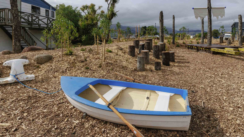
A ‘sinking ship’, monkey bars and dinghy are all features of a new play space at Naval Point.
14 Jan 2026
Local students bring fresh ideas to Hoon Hay Park
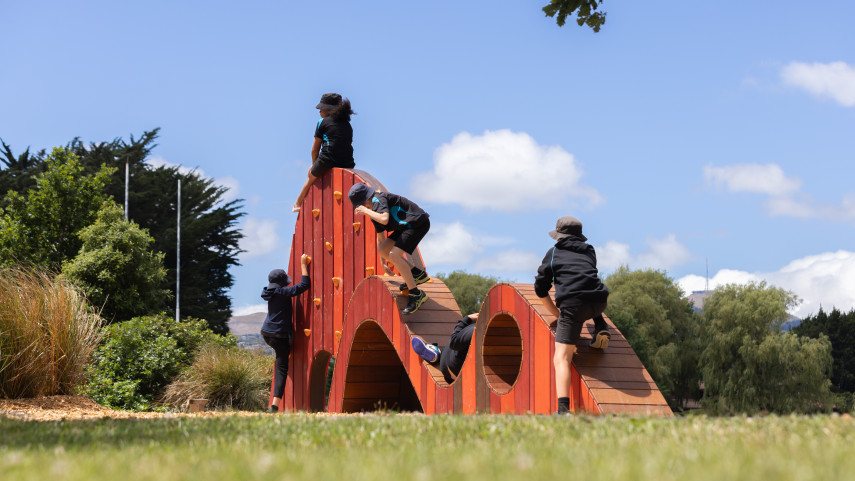
Students at Te Kōmanawa Rowley School have stepped into the role of landscape architects – designing, prototyping and constructing a new play space in Hoon Hay Park.
12 Jan 2026Design approved for Shirley Community Facility
Plans for a new Community Facility at Shirley Reserve have been approved by the local Community Board.
17 Dec 2025