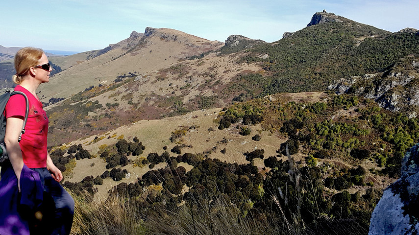
With its varied terrain and landcover, this track makes an excellent connection between the reserve's lower slopes and the crater rim.

| Start | Junction with Bush Road Track |
|---|---|
| Finish | Junction with Ellas Track |
| Distance | 1.2km |
| Time | 45 minutes one way |
| Toilets | Located at Sign of the Bellbird |
| Dogs | Dogs must be on a short leash |
| Description |
The Totara Log Track offers plenty of walking through a diversity of terrain and vegetation cover. The trail winds around a rock outcrop and spur, connecting Bush Road Track, Bivvy Track and Ellas Track. These tracks can be combined in different ways to enable a variety of interesting circuits around the central and western parts of Ohinetahi Reserve. The tracks in Ohinetahi are managed by the Summit Road Society(external link). You can find maps and more information about the area on their website. |
Walking tracks
Shared use
Connecting tracks
Closed
Parking
Bus stop

Toilets
Water fountains
Accessible tracks

Challenging feature

Entry and exit point

Point of interest
Related news

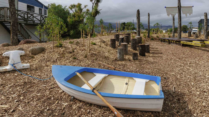
New play space at Lyttelton’s Naval Point now open
A ‘sinking ship’, monkey bars and dinghy are all features of a new play space at Naval Point.
14 Jan 2026
Local students bring fresh ideas to Hoon Hay Park
Students at Te Kōmanawa Rowley School have stepped into the role of landscape architects – designing, prototyping and constructing a new play space in Hoon Hay Park.
12 Jan 2026Design approved for Shirley Community Facility
Plans for a new Community Facility at Shirley Reserve have been approved by the local Community Board.
17 Dec 2025