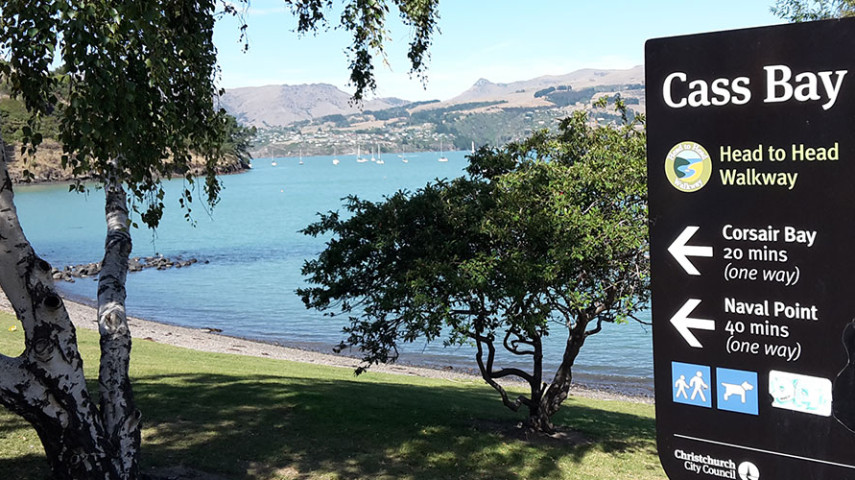
The Coastal Path connects Magazine Bay, Corsair and Cass Bay beaches, with spectacular views of Whakaraupō/Lyttelton Harbour, Ōtamahua/Quail Island and Charteris Bay opposite.

| Start | 7 Park Terrace |
|---|---|
| Finish | Pony Point Reserve |
| Distance | 4 km |
| Time | 1 hour one way |
| Toilets | Located at Corsair Bay and Cass Bay |
| Dogs |
Must be on leash on all formed tracks, in car parks, and on roads, and under effective control on the beaches, outside of summer. During summer (November to end February), between 9am and 7pm, dogs must be kept on a short leash while walking through the beaches. At Pony Point Reserve, dogs must be leashed on the lower slopes and on the walking track but may be allowed off leash, under effective control on the top of the hill in the grassed area. |
| Description |
This wide, well-formed track follows the coastline well above the shore. You can take a connecting path (5 minutes) to drop down to explore Magazine Bay, a small sandy beach perfect for picnics, which is home to the Thornycroft Torpedo Boat Museum (limited open hours). Magazine Bay to Motukauatiiti-Corsair Bay – 15 minutes Motukauatiiti-Corsair Bay to Motukauatirahi-Cass Bay – 20 minutes Motukauatirahi-Cass Bay to Otuherekio-Pony Point Reserve – 15 minutes one way Get ready for this track using Plan My Walk(external link)(external link) by the NZ Mountain Safety Council. You can find track alerts, weather forecasts, trip reviews and a packing list, so you are set for your adventure. |
Walking tracks
Shared use
Connecting tracks
Closed
Parking
Bus stop

Toilets
Water fountains
Accessible tracks

Challenging feature

Entry and exit point

Point of interest
Related news

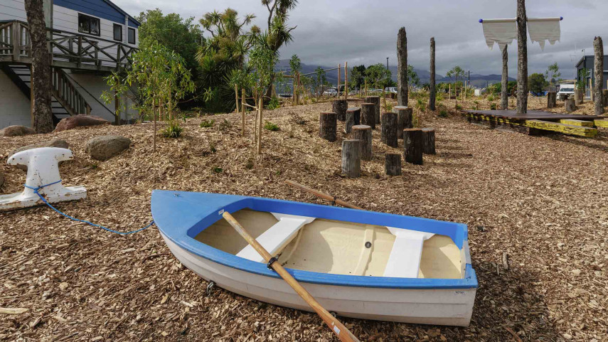
New play space at Lyttelton’s Naval Point now open
A ‘sinking ship’, monkey bars and dinghy are all features of a new play space at Naval Point.
14 Jan 2026
Local students bring fresh ideas to Hoon Hay Park
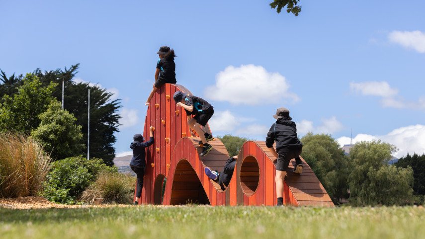
Students at Te Kōmanawa Rowley School have stepped into the role of landscape architects – designing, prototyping and constructing a new play space in Hoon Hay Park.
12 Jan 2026Design approved for Shirley Community Facility
Plans for a new Community Facility at Shirley Reserve have been approved by the local Community Board.
17 Dec 2025