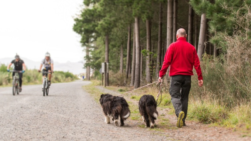
Bottle Lake Forest Park is an exotic pine forest of approximately 800 hectares. It is a lovely place for a walk on a hot day as the tracks are almost all entirely in the shade.

This information is about the walking tracks at Bottle Lake Forest. Find out about the mountain bike tracks.
A map can be obtained from the Bottle Lake Forest Information Centre or any council Customer Service Hub. It is recommended that walkers carry one as it is easy to get disorientated in this forest. The roads are organised alphabetically with Apple Road being the closest to the Bottle Lake headquarters and Zulu Road being the furthest away. This track diverges from the Blue Track almost immediately after leaving the car park. Walk out towards the coast and around the landfill site before rejoining the Blue Track after 4.7 km. These tracks wind up through the old landfill site and offer stunning views out to the ocean, Kaikouras and Maukatere-Mt Grey. Over 100,000 trees were planted in this area as part of the landfill's remediation. Look out for the methane capture points around the hills. These convert the carbon dioxide and methane gas produced by the landfill waste into enough energy to power the entire Christchurch City Council Civic Offices.
Blue Track
Start
Bottle Lake Forest car park, Waitikiri Drive, Parklands
Finish
Same as the starting point
Distance
10 km
Time
2 hours return
Toilets
Located at the car park
Dogs
Can be exercised off the leash throughout Bottle Lake Forest but must be under effective control e.g. not running at other people or mountain bikers. Take extra care at track junctions that are shared with MTB and logging trucks.
Description
Blue Coastal Track
Start
200m from Bottle Lake Forest car park
Finish
Blue Track
Distance
4.2 km
Time
50 minutes
Toilets
Located at the car park
Dogs
Can be exercised off the leash throughout Bottle Lake Forest but must be under effective control e.g. not running at other people or mountain bikers. Take extra care at track junctions that are shared with MTB and logging trucks.
Description
Blue Hill Track
Start
Signposted junction off the Blue Track
Finish
Blue Track
Distance
3 km
Time
20 to 30 minutes
Toilets
Located at car park
Dogs
Can be exercised off the leash throughout Bottle Lake Forest but must be under effective control and not running at other walkers or mountain bikers. Take extra care at track junctions that are shared with MTB and logging trucks.
Description
Get ready for this track using Plan My Walk(external link)(external link) by the NZ Mountain Safety Council. You can find track alerts, weather forecasts, trip reviews and a packing list, so you are set for your adventure.
Walking tracks
Shared use
Connecting tracks
Closed
Parking
Bus stop

Toilets
Water fountains
Accessible tracks

Challenging feature

Entry and exit point

Point of interest
Related news

New play space at Lyttelton’s Naval Point now open
A ‘sinking ship’, monkey bars and dinghy are all features of a new play space at Naval Point.
14 Jan 2026
Local students bring fresh ideas to Hoon Hay Park
Students at Te Kōmanawa Rowley School have stepped into the role of landscape architects – designing, prototyping and constructing a new play space in Hoon Hay Park.
12 Jan 2026Design approved for Shirley Community Facility
Plans for a new Community Facility at Shirley Reserve have been approved by the local Community Board.
17 Dec 2025