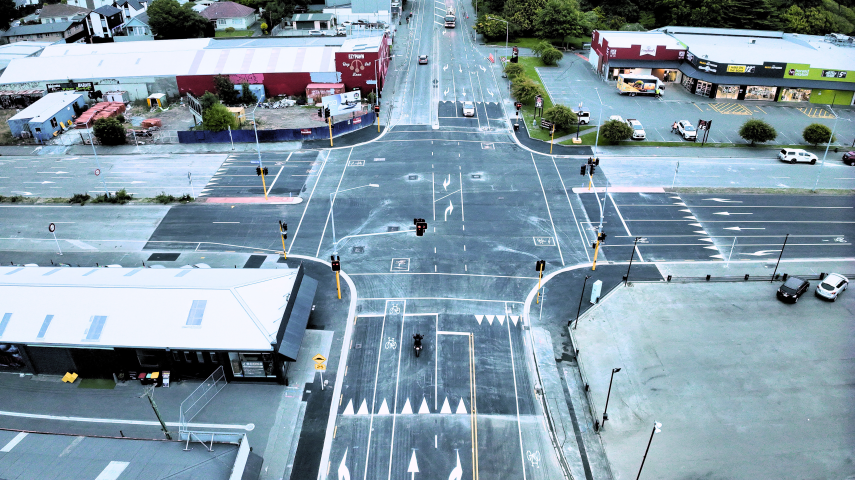
We've made the intersection of Ferry Road, Ensors Road and Aldwins Road stronger and safer.

This intersection is open as usual. Ngā mihi nui, thanks for your patience while we made this intersection stronger and safer.
Between Sunday 5 January and Monday 13 January we closed this intersection for essential upgrades. During this time we:
- Rebuilt this busy intersection from the foundation up, making it much stronger.
- Replaced traffic lights that were at the end of their service life. It was important to replace them now, as the signals failing would prompt unscheduled disruption at the intersection.
- Installed safe speed platforms on all approaches to the intersection, as this was the second most dangerous intersection in the city. There were 49 crashes between 2014 to 2023, including seven serious injury crashes and 13 minor injury crashes.
- Resurfaced the intersection and part of Aldwins Road with asphalt. This will help the intersection withstand the 15,000 daily vehicle movements we see through here every day, including heavy vehicles like trucks and buses.
You can read our Newsline article(external link) for more information about the work.
