Public open space is defined as any area that includes public parks and planted areas, waterways and streets that can be used for recreation or public health benefit, or to help protect the natural landscape.
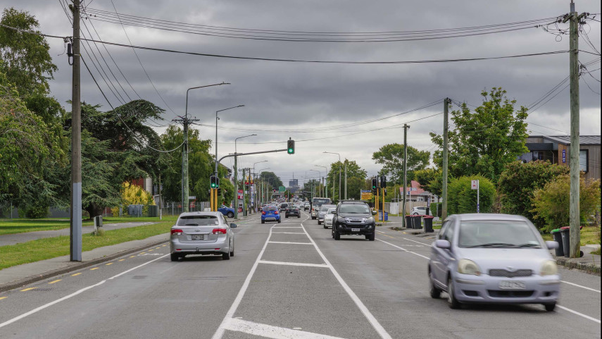
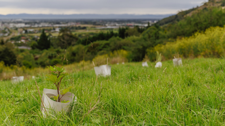
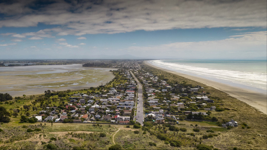
This can include green space (parks), blue space (waterways and coast) and grey space (streets, street malls or squares).
What is the Public Open Space Strategy?
The Public Open Space Strategy provides a framework to guide the provision and development of all public open space within Christchurch and Banks Peninsula for the next 30 years.
- View the Public Open Space Strategy 2010-2040 [PDF, 4 MB]
What do we mean by open space?
The Public Open Space Strategy covers Christchurch City Council public open space such as:
- 'green spaces' (parks used for recreation and amenity purposes and for the protection of biodiversity and cultural heritage)
- 'blue spaces' (the city's waterways and wetlands)
- 'grey space' (streets, malls and squares)
Why do we need an Open Space Strategy?
Christchurch City Council (the Council) has a responsibility to manage this open space in a co-ordinated way, taking into consideration the challenges over the next 30 years. These challenges include:
- Provision of parks and green spaces in higher density urban areas for growing populations.
- Maintenance of the City’s level and quality of open space into the future.
- How and where to provide an interesting and diverse open space network to best encourage healthy activity.
- Improving the quality of our streets for pedestrians and cyclists as well, as for motorised transport.
- Protecting and enhancing rural Christchurch City’s identity.
- Protecting and enhancing urban Christchurch’s Garden City identity.
- Increasing opportunities to experience and access many of the City’s outstanding natural and cultural landscapes, coastline, views and indigenous biodiversity.
What are the issues? Why the need for an Open Space Strategy?
An estimated 360,500 people live in Christchurch City and Banks Peninsula (2006 census) and 90.4 per cent live in urban areas. Using the Greater Christchurch Urban Development Strategy (UDS) as the basis for growth planning in the Christchurch UDS area, the resident urban population is estimated to grow by a further 84,000 people over the next 30 years (by 2040).
As open space is integral to the city’s functioning and to its social, cultural, economic, and environmental well-being, the combined effects of resident and visitor growth on the future open space needs of the City and Banks Peninsula will be significant. Some of the main issues the Open Space Strategy will need to address include:
- Significance of open space to the identity of Christchurch and Banks Peninsula. Changes in how much open space exists and how it is managed – including protecting outstanding (natural and cultural) features and landscapes.
- Increasing our urban density will increase demand for and place new pressures on public open space – in both urban and rural areas. Future open space needs resulting from the City’s contained urban growth, must be anticipated and planned for and can be expected to significantly change the current extent and quality of open space.
- Demographic, social and lifestyle changes need to be anticipated. Our population is aging, becoming more diverse, more urban, and more flexible in work and leisure hours. These changes can be expected to affect how we will use open space in the future.
- Open space fulfils a range of resident and visitor needs. With a demand for diversity in open space, diminished leisure time and private open space, a variety of accessible public open space will need to be available. These also need to be equitably distributed.
- Cost increases need to be accommodated. Competing interests for land will also affect the purchase price of potential public open space areas - especially in coastal, riverside and central city areas.
- Accommodating changing environmental costs and effects. The effects of how we use our resources sustainably and plan and manage future open space.
- To provide for current and future public open space in the Christchurch and Banks Peninsula area.
How the Council plans to meet the goals and objectives
The Council has identified six concept plans, that provide an overview of how we plan to meet the goals and objectives. They include ideas of where future possible recreation routes may go (paths, tracks, walking and cycling routes), or locations and areas that may need an open space, i.e. a park, in the future.
The concepts are a long-term 30-year approach and the proposals and suggestions, if adopted, may take many years to happen.
- City Identity
- Metropolitan Christchurch
- Central City
- Banks Peninsula
- Akaroa
- Lyttelton
Providing open space in the future
It is important for us to understand what you think about maintaining the amount of open space into the future. This is known as the ‘levels of service’ or ‘standards’, and they determine the amount of open space that needs to be provided for per person.
| Open Spaces | Proposed Size | Current park or open space area per head of population | Proposed park or open space area per head of population by 2040 |
|---|---|---|---|
| Pocket parks | Small sized open space Less than 1000m2 | Very small numbers of pocket parks | As required for amenity in the central city for seating / lunchtime / timeout areas. Space for trees and amenity planting |
| Neighbourhood and Garden City parks | Medium sized open spaces 3000m2 to 1 ha | Neighbourhood parks 1 ha per 1000 people | Neighbourhood parks - 1 ha per 1000 people. Central City neighbourhood parks – 0.4 ha per 1000 people |
| Metropolitan / Sports parks | 4.5 ha or bigger | 3.5 ha per 1000 people | 3.5 ha per 1000 people subject to the outcome of the Sports Park Plan |
| Council Managed Regional / Conservation parks | Size is highly variable | 18 ha per 1000 people | 25 ha per 1000 people |
| Waterways, living streets, green links, greenbelts | Linear open spaces a minimum of 8m wide for walkways and 20m wide for waterway margins | Not applicable | As required by detailed development plans |
| Cemetery | As required by the Cemeteries Master Plan | Not applicable | As required by the Cemeteries Master Plan |
Related news

Transport and water upgrades planned for Lincoln Road
A major upgrade to Lincoln Road starts in April, installing peak hour bus lanes and improving water and wastewater services.
12 Feb 2026
Restoration of red-zoned Port Hills properties gets underway
A 10-year programme to revegetate red-zoned properties in the Port Hills aims to transform the area and restore its unique biodiversity.
11 Feb 2026
Landmark Southshore resource consent approved
The long-awaited project to build erosion and flood protection structures along Te Ihutai/Avon-Heathcote Estuary edge in Southshore and South New Brighton is set to begin, following the approval of resource consent this week.
4 Feb 2026