How we plan to tie Avon Park into the City to Sea Pathway and upgrade its facilities.

Subscribe to the Ōtākaro Avon River Corridor newsletter
Also, check our Council Facebook page(external link) to stay in touch with what is happening.

Construction started: Summer 2024.
Estimated completion: Mid-2025.
This project sits within the Community Spaces and Landings portion of the Ōtākaro Avon River Corridor budget, which has a total allocation of $33.4m. The Christchurch Earthquake Appeals Trust (CEAT) is funding the upper terrace portion.
We’re proposing a comprehensive redevelopment of Avon Park and the surrounding pockets of regeneration area between 740 Avonside Drive and Kerrs Road, to incorporate the City to Sea Pathway, improve local ecology and upgrade the current recreational facilities.
In accordance with the Regeneration Plan, we have now formally stopped this section of Avonside Drive so we can transform the low-lying land – including the lower terrace of Avon Park – into a naturalised wetland area. This will include a secondary river overflow channel in the lower terrace of the park to create an island refuge for wildlife and exploratory play trails at the edges.
Nearby, the new Snell Place footbridge crosses the Ōtākaro Avon River and will form part of the City to Sea Pathway. Footpaths will connect the park to the Pathway, which crosses Avon Park between the higher terrace and the newly established wetland. Car parking will be provided nearby.
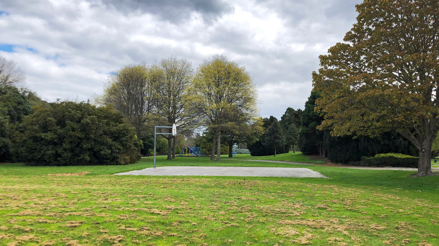
We’re proposing a range of new facilities for Avon Park, including nature-play areas, an informal pump track, a full-sized basketball court, community forage gardens and a grassed area for ball games.
Ōtautahi Community Housing Trust and Kainga Ora both own properties that border Avon Park and have developments planned in the coming years. We worked with both organisations to ensure these developments and the park are designed to provide the best outcomes for everyone.
We also intend to formally close Avonside Drive between Kerrs Road and Wainoni Road. Access to Kerrs Road between 144 Kerrs Road and Kerrs Reach, where it passes through the regeneration area, will also be limited to daylight hours. The Waitai Coastal-Burwood-Linwood Community Board and the Council have approved staff to undertake the formal road-stopping process to make these changes.
As part of this work, traffic-calming measures will be made to Torlesse Street, Braemar Place and Kerrs Road north of Wainoni Road, and traffic counters installed on Torlesse Street to measure if the changes result in significant traffic increases on the local road.
Almost 65% of the 111 groups and individuals who made submissions supported the road stopping, saying it would improve safety, and would result in the protection and restoration of nature and recreational spaces.
More information about the Avon Park upgrade work and proposed road stopping [PDF, 4.5 MB].
