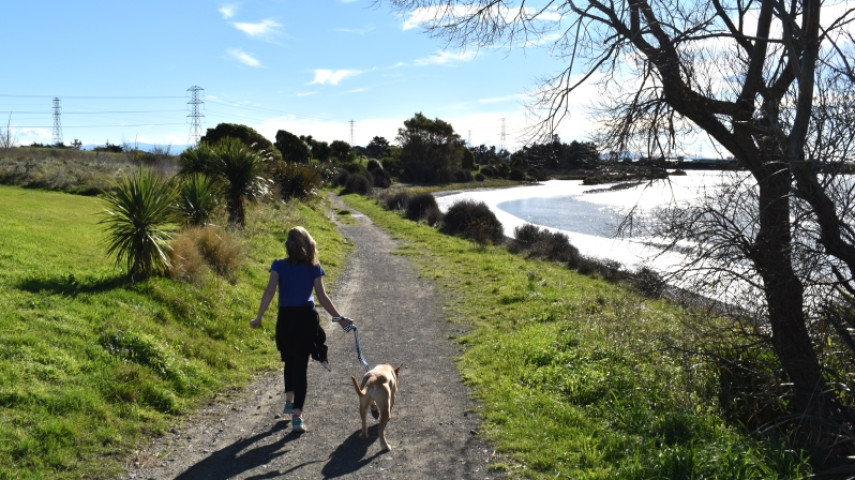
Follow the edge of the estuary past an important wildlife area to finish by Tunnel Road.

| Start | Ferrymead Park Drive near Ferrymead Golf |
|---|---|
| Finish | Tunnel Road |
| Distance | 1.5 km |
| Time | 20 minutes one way |
| Toilets | Off Ferrymead Park Drive, near the playing fields |
| Dogs | On leash only |
| Description |
This track follows the Ōpāwaho/Heathcote estuary edge through Ferrymead Park, passing an important wildlife area managed by Forest and Bird. A flat and gentle walk, keep an eye out for the wetland birds that inhabit the area as you pass through. Be sure to keep dogs on a lead while walking this track as playful dogs who chase birds can affect the bird's success in breeding and nutrition. Get ready for this track using Plan My Walk(external link)(external link) by the NZ Mountain Safety Council. You can find track alerts, weather forecasts, trip reviews and a packing list, so you are set for your adventure. |
Walking tracks
Shared use
Connecting tracks
Closed
Parking
Bus stop

Toilets
Water fountains
Accessible tracks

Challenging feature

Entry and exit point

Point of interest
Related news

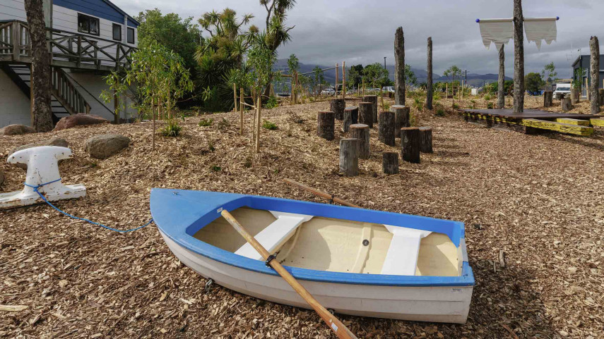
New play space at Lyttelton’s Naval Point now open
A ‘sinking ship’, monkey bars and dinghy are all features of a new play space at Naval Point.
14 Jan 2026
Local students bring fresh ideas to Hoon Hay Park
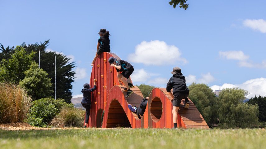
Students at Te Kōmanawa Rowley School have stepped into the role of landscape architects – designing, prototyping and constructing a new play space in Hoon Hay Park.
12 Jan 2026Design approved for Shirley Community Facility
Plans for a new Community Facility at Shirley Reserve have been approved by the local Community Board.
17 Dec 2025