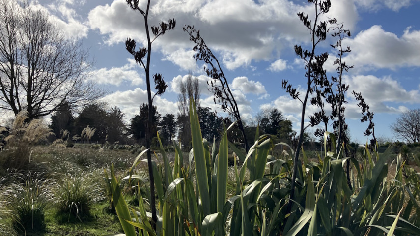
Enjoy a peaceful stroll around the perimeter of what will one day be a mighty native forest.

| Start | Bridgestone Reserve, Langdons Road, Papanui |
|---|---|
| Finish | Same as starting point but there are alternative exit/entry points from the path running alongside the rail line offf Sawyers Arms Road, and the car parking areas near Aspire Canterbury and Northlink. |
| Distance | 1km |
| Time | 15 to 20 minutes return |
| Dogs | Dogs must be leashed on all formed paths and tracks. |
| Accessibility | The path is wide, smooth and suitable for wheelchair users. |
| Description | A lovely and easy walk around the perimeter of Bridgestone Reserve and the future Papanui Bush restoration area.See stunning native plants, track the growth of young trees, and enjoy the trickle of the stream running through the reserve. |
Walking tracks
Shared use
Connecting tracks
Closed
Parking
Bus stop

Toilets
Water fountains
Accessible tracks

Challenging feature

Entry and exit point

Point of interest
