- Population: 71,700
- Median age: 40.3 years
- Identify as Māori: 7 per cent
- Born overseas: 28 per cent
- No qualification: 14 per cent (15 years and over)
- Median personal income: $34,400
- Occupied private dwellings: 26,400
- Unoccupied private dwellings: 1,900
- Household access to internet: 90 per cent
- Rented dwellings: 29 per cent
- Median rent: $400
All figures are sourced from the 2018 Census of Population and Dwellings. (external link)View additional census data for community boards and wards. [XLSX, 1.5 MB]
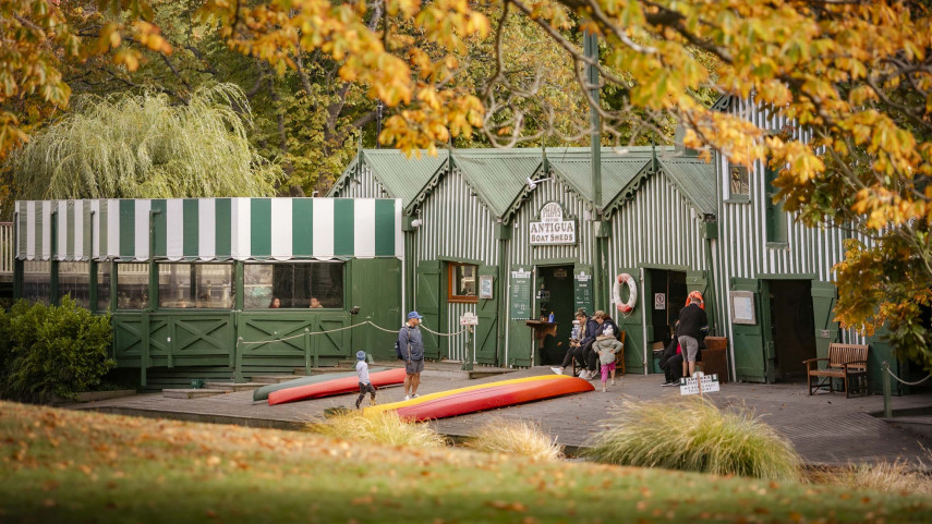
- 2 Council libraries: Fendalton,(external link) Ōrauwhata: Bishopdale Library(external link)
- 1 Council Customer Service Hub: Fendalton
- 165 Council parks (670 hectares): 111 local/community parks, 19 sports parks, 10 regional parks, 5 garden and heritage parks, 3 cemeteries, 1 plant nursery, and 16 utility parks
- 10 Council-owned social housing complexes with 187 units
- 31 schools: 19 primary, 3 intermediate, 5 secondary, 3 composite (Year 1-13), 1 special
- 2 private hospitals: St George’s(external link), Nurse Maude(external link)
- 1 charity hospital: Canterbury Charity Hospital(external link)
- Approximately 9,500 businesses employing 35,700 people (2022)
- Multiple major sport and recreation amenities:
- Main shopping centres and precincts:
- Avonhead Mall [PDF, 3.7 MB]
- Bishopdale Mall [PDF, 3.7 MB]
- Fendalton Mall [PDF, 3.8 MB]
- Ilam/Clyde [PDF, 3.7 MB]
- Merivale Mall [PDF, 3.8 MB]
- Spitfire Square (airport) [PDF, 3 MB]
- Wairakei/Greers. [PDF, 3.8 MB]
Ward profiles
Based on data from Statistics New Zealand.