Earthquake damage to land and infrastructure alongside the Avon River has led to an increase in the severity of flooding to existing flood-prone land and to some new areas.
This has also had an adverse effect on land zoning, existing flood mitigation infrastructure, stormwater systems, critical roads as well as other services.
The Avon River Flood Protection Programme (FPP) is investigating options for flood management of stopbanks, pumping and other measures to restore flood risk to pre-earthquake levels. Future use of the residential red zone impacts on flood management options.
Cranford Basin is a critical part of the city's stormwater network, connecting the Avon and Styx River catchments. Investigations have focussed on boosting stormwater storage and maximising the effectiveness of the new Tay Street Drain Pump Station.
In February 2016, the Council agreed to a significant upgrade to the Cranford Basin stormwater network.
The agreed programme of works is estimated to cost $7million, including land purchase costs. Work will include the construction of embankments and upgrades to drains, floodwater storage areas, gates and systems in the stormwater network around Dudley Creek and Flockton. The works will be built in coordination with the proposed Styx River Stormwater Management Plan and Northern Arterial Motorway projects.
The work is expected to bring a substantial increase to stormwater storage capacity, and give greater control over flooding in the adjacent areas, including Flockton Street, St. Albans Creek, Shirley Stream, Upper and Lower Dudley Creek and the Ellington Road Estates Area.
Read the Council staff report - Page 7 [PDF, 19 MB]
The Dudley Creek flood remediation scheme is now operational, offering increased flood protection to more than 585 properties.

Work the Council is doing to reduce flood risk in the Dudley Creek / Flockton area, through the Land Drainage Recovery Programme (LDRP)
Dudley Creek long-term flood mitigation
- $48 million. The major LDRP project enhancing the capacity of Dudley Creek with a piped bypass down Randall and Medway Streets. Bypass completed June 2017
- Work in St Albans Creek started in mid-2017 with the replacement of the Hills Road Culvert
- Increasing the capacity of St Albans Creek between Hills Road and Dudley Creek and replacement of culverts in Slater Street and Stapletons Road.
- Shirley Stream is being widened between Shirley Road and Julius Terrace.
Dudley Creek long-term flood mitigation extensions
- Council agreed to investigate possible extensions to the Dudley Creek long-term flood mitigation scheme to Francis Avenue, Thames Street and Geraldine Street
- These investigations are ongoing and may identify new physical work packages.
Tay Street Drain / Kensington Avenue Pump Station (PS202)
- Now fully operational pumping water from Kensington Avenue away from the Flockton Street area into Horseshoe Lake via the Lower Dudley Diversion.
Cranford Basin optimisation
- $7 million. The concept design was approved by the Council with an estimated two-year construction period starting in late 2016.
- This project will increase storage in Cranford Basin and extend the benefits of the Tay Street Drain Pump Station (PS202).
LDRP investigations
- Investigations into other waterways surrounding the Flockton Street area: Shirley Stream, Bings Drain, Upper Dudley Creek and Westminster Street
- These investigations are ongoing and may identify new physical work packages.
Knights Drain flood mitigation works
Flood mitigation works have started in the Knights Drain catchment, an area at greater risk of flooding since the earthquakes, due to ground subsidence.
Works have been split into three stages:
Stage 1
A new pump station and pressure main on ANZAC Drive to discharge water from Knights Drain into the Avon River.
Stage 1 was completed by SCIRT in 2017.

Pump Station Anzac Drive
Stage 2
A new landscaped stormwater basin in the corner of Wainoni Park with some pipe upgrades in the surrounding streets.
Stage 2 is under construction, due for completion in mid-2018.

Stage two
Stage 3
A new stormwater pond on the corner of Pages Road and Anzac Drive including modifications to Knights Drain and the existing wetland.
Stage 3 is currently undergoing design and property purchase negotiations.
The Knights Drain construction programme is dependent on property purchases progressing.

Knights Drain proposal
No. 1 Drain works completed
No.1 Drain in Shirley, which runs into Horseshoe Lake, was badly damaged in the earthquakes.
The once unsightly concrete drain has now been transformed into a naturalised stream, complete with ponds and floating wetlands(external link), bringing reduced flood risk for properties upstream, and improved habitat for aquatic life.
The floating wetlands are densely bedded with plants, which will send their roots into the water and take up nitrogen, phosphates and heavy metals, improving the water quality in Horseshoe Lake and the Avon River.

Related news
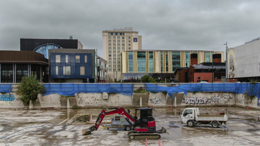
Proposed new rebates to encourage central city development
Consultation is open on two proposed new rebate schemes aimed at supporting development in the central city.
23 Jun 2025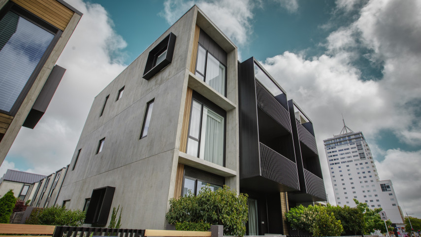
Minister has final say on housing density rules for Christchurch
The Government has issued its final decisions on a number of matters referred to it as part of the planning process for greater housing density in Christchurch.
6 Jun 2025
Public hearings postponed for Plan Change 14
The remainder of public hearings for Christchurch City Council’s proposed Plan Change 14 have been postponed following a decision released today by the independent hearings panel.
8 Jan 2024