Plans for the 11km shared-use pathway that will travel through the heart of the Ōtākaro Avon River Corridor (OARC).
Subscribe to the Ōtākaro Avon River Corridor newsletter
Also, check our Council Facebook page(external link) to stay in touch with what is happening.

Construction commencement date: July 2024
Estimated completion: Late 2026/early 2027
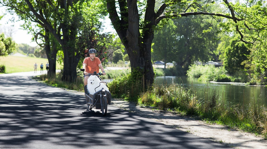
The City to Sea Pathway runs through the heart of the Ōtākaro Avon River Corridor. The 11-kilometre-long, shared-use, all-weather route will largely follow the course of the Ōtākaro Avon River from Barbadoes Street in the central city to Pages Road in New Brighton.
The pathway will generally be four metres wide and designed to meet best practice safety and accessibility standards. It may feature short sections of boardwalk to allow for drainage and contours in the land.
It is designed to be enjoyed by everyone, and a network of minor paths will connect it to its surrounding communities. It’s being designed as a fun route, with play activities, such as interactive elements and places to explore along its length.
The route is now set and we’re working with mana whenua and key interest groups to finalise the design of the upcoming sections.
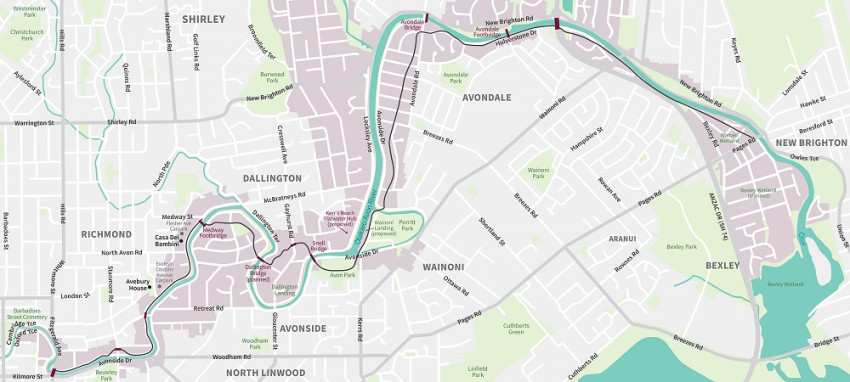
The City to Sea Pathway links most of the planned landings and includes a fourth walking and cycling bridge at Dallington, where the pathway crosses the river. The concept for the bridge was conceived in collaboration with engineering and fine arts students from the University of Canterbury.
At the same time, the Anzac Drive bridge underpass will be upgraded to reduce the likelihood of flooding the pathway and improve public access.
Due to the length of the pathway, it will be designed and constructed in three sections:
- Section One is from Fitzgerald Avenue to Avon Park and includes the Dallington Bridge
a. Pathway to be completed early 2025
b. Dallington Bridge to be completed mid to late 2025 - Section Two is from Avon Park to Anzac Drive Underpass (SH74)
a. Pathway through Avon Park to be completed: mid to late 2025
b. Pathway from Porrit Park to Anzac Drive Underpass (SH74) completed late 2025/early 2026 - Section Three is from Anzac Drive to Pages Road
a. Pathway from Anzac Drive Underpass (SH74) to Waitaki completed late 2026/early 2027
b. Pathway along Waitaki stop bank to be completed early 2027
Read more on the City To Sea Pathway [PDF, 16 MB].