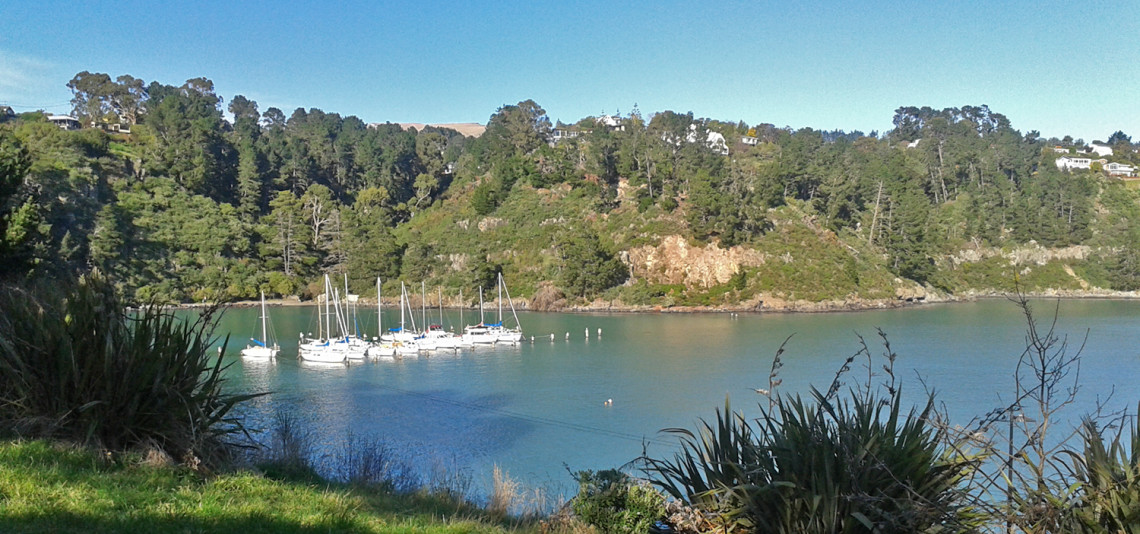
The Coastal Cliffs Walkway follows the foreshore between Church Bay, Diamond Harbour and Purau, with harbour views. It forms part of the Head to Head Walkway.

| Start | Church Bay |
|---|---|
| Finish | Purau Bay |
| Distance | 7 km |
| Time | 3 hours one way |
| Toilets | Located at a small beach just before Diamond Harbour Wharf, in Stoddart Point Recreation Reserve and at Purau Bay |
| Dogs | Effective control. Dogs are prohibited from the Coastal Cliff Reserve and foreshore for the protection of wildlife such as penguins, reef heron and roosting shags. |
| Description: |
Church Bay to Diamond Harbour Wharf - 90 minutes The track then zig-zags down to reach a tiny rocky beach with a side creek and toilets. From here a wide well-formed path climbs up to meet the Wharf Road. Walk downhill to the wharf area to pick up the next section of track. Diamond Harbour Wharf to Purau Bay - 90 minutes At the top of the stairs, take the track alongside the cliff edge around Stoddart Point, through bush and pine trees. Historic Stoddart’s cottage in Stoddart Point Recreation Reserve is a possible side trip as is the small township of Diamond Harbour with two cafes. Otherwise, continue to follow the rough track above the water edge through pine forest with views of the harbour and Ripapa Island - a small island with a large history. Ripapa was an important pa site for Ngāi Tahu, then a quarantine station, a prison and a fort built during the Russian scare of 1885. The track emerges onto Purau Ave just short of Purau Bay. Follow the road until you reach the beachfront at Purau Bay where there is a wide shelly-sand beach ideal for exploring with children, toilets and picnic areas. Get ready for this track using Plan My Walk(external link)(external link) by the NZ Mountain Safety Council. You can find track alerts, weather forecasts, trip reviews and a packing list, so you are set for your adventure. |
Walking tracks
Shared use
Connecting tracks
Closed
Parking
Bus stop

Toilets
Water fountains
Accessible tracks

Challenging feature

Entry and exit point

Point of interest
