Fire
Fire and Emergency New Zealand (FENZ) is responsible for fire season status and permits.
Geospatial datasets and maps
Access our open data, authoritative, spatial datasets and maps.
Geotechnical reports
As part of the District Plan Review the Council has commissioned geotechnical assessments.
Land contamination
Find out if your land was once used for an orchard, a landfill, storing fuel or any other activity.
Liquefaction
Understanding liquefaction vulnerability helps guide decisions about future land use and designing infrastructure and homes to manage risk.
Port Hills slope stability
Following the Canterbury Earthquakes, three slope stability hazards have been identified in the Port Hills.
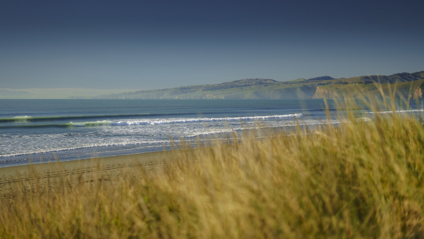
Regeneration areas
We’re developing Christchurch’s former residential red zones and encouraging people to visit and use these special areas.
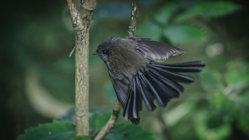
Ecosystem map
Use the map of soils and historic vegetation patterns to choose the best plants for restoration projects.