CoastSnap

With CoastSnap everyone can be a scientist – it's as easy as snap, share, see.

The coast is a naturally dynamic environment.

Changes in our coastlines can be driven by a number of things, including currents, waves and tides, changes in coastal vegetation and changes in sediment supply. All of these things can occur naturally or as a result of human influences.

Climate change also drives change in our coastlines by causing sea levels to rise and increasing the frequency and severity of storm events.

To help understand our dynamic coastlines we are working with Environment Canterbury and the University of Canterbury to deliver the CoastSnap project in Christchurch.

CoastSnap is a community science initiative designed by the Water Research laboratory at the University of New South Wales in Australia.

At CoastSnap photo points you can take photos of the coastline and send them into our community database. These images can then be analysed to show the change that occurs over time, which will help us better understand and manage our coastal environment. 

Snap to be a part of our city’s future.

How to get involved

Contributing to coastal science is as easy as snap, share, see. Simply travel to a CoastSnap location and follow the instructions below.

Contribute to CoastSnap

1. Snap

Firstly, take a snap on your phone by placing it in one of the photo point cradle located around our city's coastline.

Here are some handy tips to make sure your images are useful:

  • Place your phone or tablet snuggly up against the left edge of the photo point cradle.
  • Avoid using filters.
  • No need to zoom.

2. Share

Simply share it to the CoastSnap app, coastsnapchch@ccc.govt.nz, Instagram or Twitter with the hashtag shown on the sign.

If uploading through social media, then make sure you include the time and date the photo was taken in the comments.

3. See

Lastly, view the other photos people have posted on our website or by searching the following hashtags on Twitter or Instagram:

  • #coastsnapbrightonnth
  • #coastsnapbrightonsth
  • #coastsnapshagrock
  • #coastsnaptaylors
  • #coastsnapcorsair

Where to take a snap

We have launched several CoastSnap sites across Christchurch:

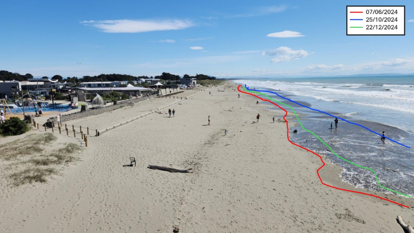
New Brighton Pier

Two photo points can be found on either side of the New Brighton pier looking along the beach both to the North and the South.

Rapanui - Shag Rock

If you head east along the Coastal Pathway from the Sumner Surf Life Saving Club you will find this photo point on one of the access points to the beach close to Rapanui - Shag Rock.

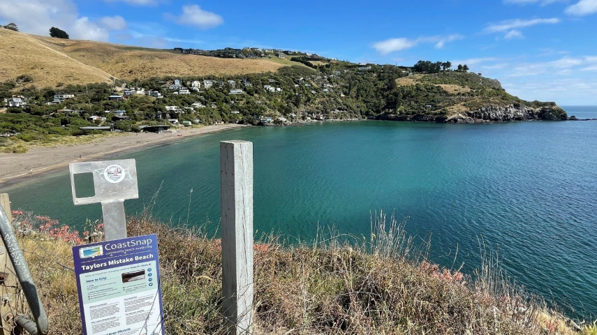
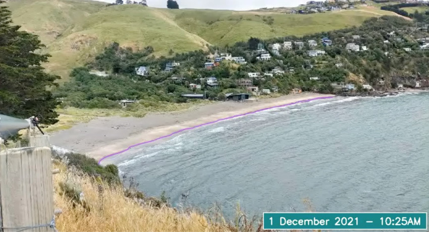
Te Onepoto - Taylors Mistake

This photo point can be found a short way up the Awaroa/Godley Head Loop Track.

Motu-kauati-iti - Corsair Bay

This photo point can be found on the western side of the bay just before the start of the walkway towards Motu-kauati-rahi - Cass Bay.

What we are monitoring

CoastSnap images will allow us to capture how our dynamic coastal environments are influenced by the changing climate as well as currents, waves and tides, changes in coastal vegetation and changes in the supply of sediment.

These factors lead to erosion and accretion cycles (where the beaches build up and erode away) that will be visible through CoastSnap images taken over time.

Once collated, these images are able to be analysed to measure change and help increase our understanding of what makes certain coastal areas more dynamic or resilient than others.

We are able to compare images taken during similar points in the tidal cycle to show how the shoreline has changed over time in response to some of the influences listed above. For example, we know a north-easterly storm rolled in on 10 April 2021 and we can see the impact this had on the shoreline in these two images.

New Brighton Pier  - facing north 

New Brighton Pier - facing south

The data from these snaps will then be used by the Christchurch City Council, Environment Canterbury and others to monitor, research and plan for coastal change alongside Ōtautahi Christchurch’s coastal communities.

Our coast over time

The sands of Ōtautahi Christchurch’s coastlines are always shifting.

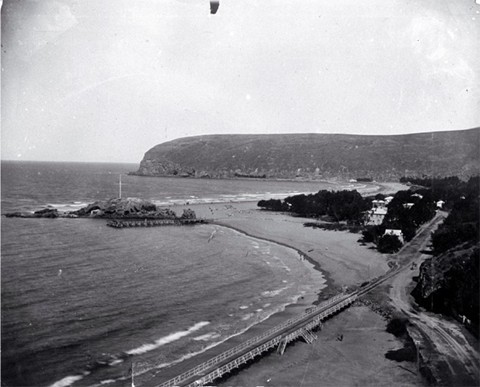
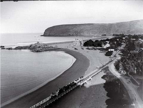
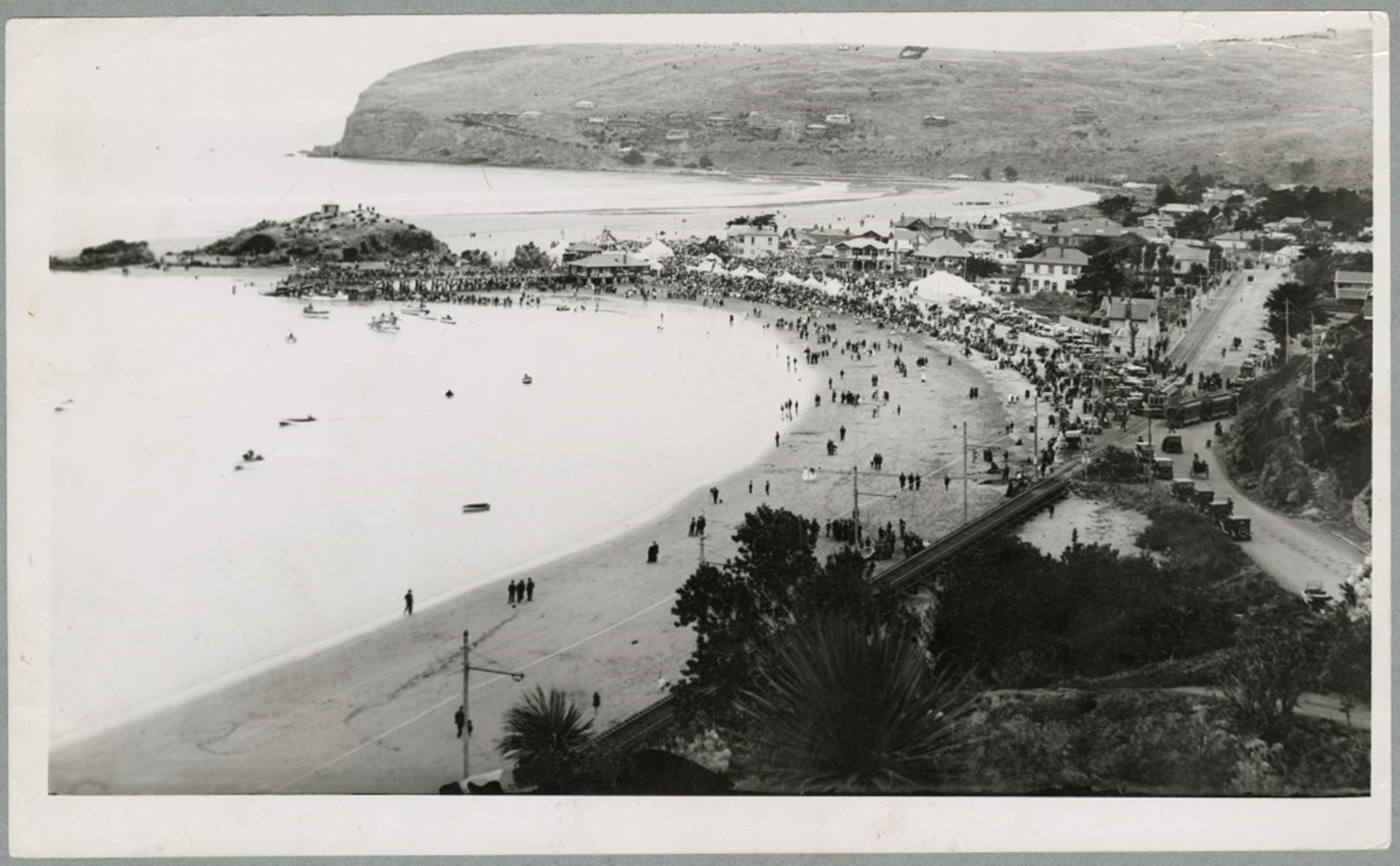
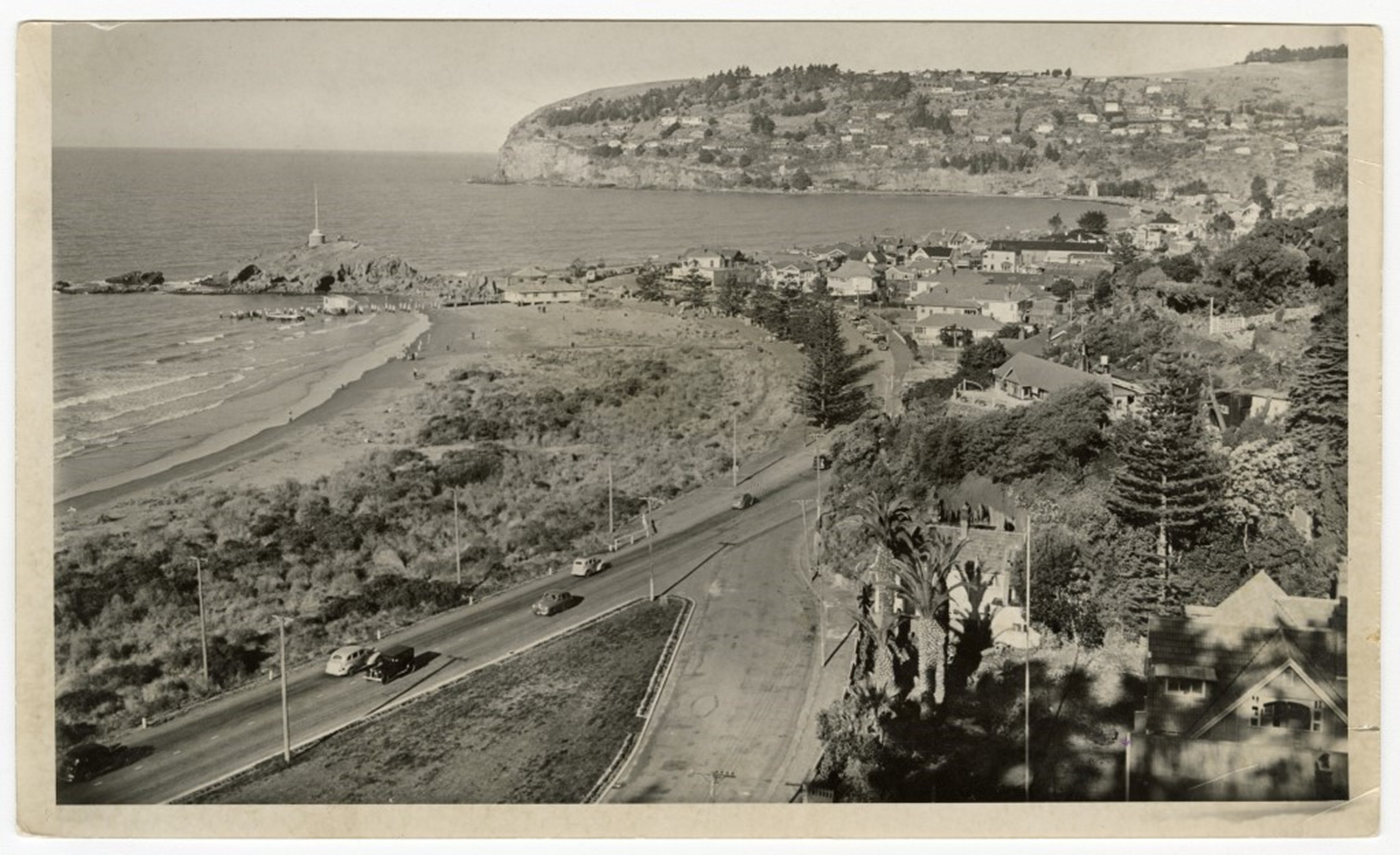
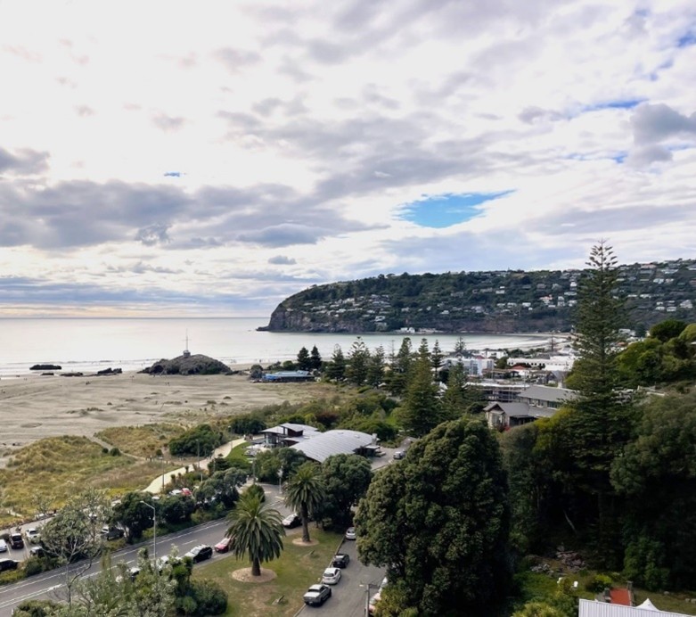
CoastSnap helps us to monitor change we see occurring in our coastal environments now and into the future, but we already have a long history with our coastline, and the photos to prove it.

Just look at some of the historic images we have of New Brighton and Taylors Mistake.(external link)

Do you have images of the coast in these locations that you would like to share? You can upload your images to the Discovery Wall.(external link)

Remember to add 'CoastSnap' as a tag to see your images show up here.