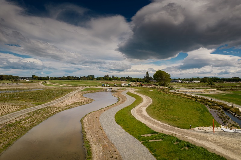
The Hoon Hay Stormwater Basin treats sediment-laden runoff from the hills and stores flood flows until it is safe to release them.
Work on the Hoon Hay Stormwater Basin is now complete
The Hoon Hay Basin has four kilometres of walking track and large areas of wetland and native planting for people to enjoy.
It will eventually link to three other stormwater storage and filtration basins that will collectively be able to store more than one million cubic metres of flood water in big rain events, reducing the risk of flooding downstream.
The overarching 109-hectare, six-year Eastman, Sutherlands and Hoon Hay Wetlands facility project will deliver around 14km of recreational footpaths, cycle tracks and bridges. Large planted areas will also connect routes from Quarrymans Trail on Sparks Road, Cashmere Road and Sutherlands Road.
The whole area will be referred to as 'Te Kuru', meaning ‘the blow with the fist’. The name was recommended to the Council by Ngāi Tūāhuriri. Mana whenua have historically used it to reference the area.
The timelapse below was captured at Te Kuru Wetlands from 7 April 2021 – 20 February 2023. Quarry Road Stream is shown in the foreground, just upstream of where it connects to Cashmere Stream, with Hoon Hay Basin in the background.
Walking tracks
Aerial view of Hoon Hay Basin
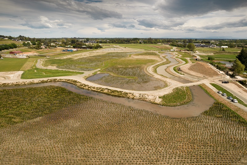
Aerial view of Hoon Hay Basin
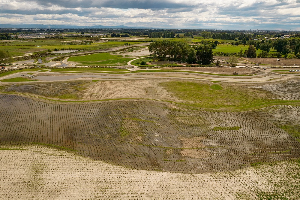
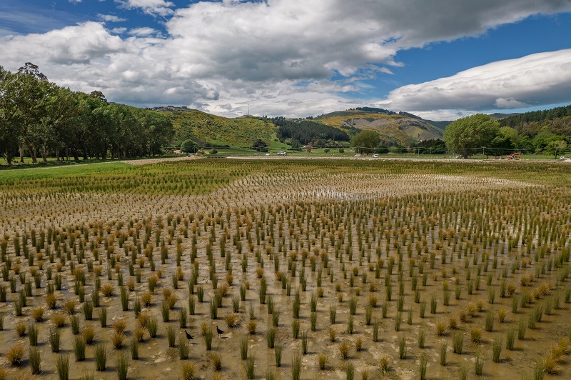
Aerial view of Te Kuru