Coastal hazard LIM notations to be changed
5 Sep 2016
Share this story
Information about potential coastal hazards on the Land Information Memoranda (LIMs) of properties in Christchurch and Banks Peninsula will be altered.
Christchurch City Council will today change the coastal hazard notations included in LIMs to ensure the information recognises and includes reference to a recent peer review report completed by the expert panel appointed to review the Coastal Hazards Assessment Report prepared by Tonkin & Taylor Ltd in 2015.
It will also be made clear in the LIM notation that further work around coastal hazards is being done and that LIM notations may change in the future as a result of that work.
One single notation will replace the four earlier notations, and refer to a risk from coastal hazards, without being as specific about the extent of the risk, and not stipulate whether the risk comes from coastal erosion and/or inundation, as the notations had previously.

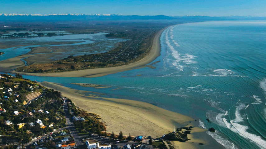
The Christchurch coastline.
The change to the LIMs follows the receipt of the second peer review into the Coastal Hazards Assessment Report, which identified areas in Christchurch and Banks Peninsula that could be vulnerable to coastal erosion and flooding by the sea as sea level rises over the next 50 to 100 years.
The findings of that report, previously peer reviewed, raised concerns in the community so the Council agreed to appoint an expert panel to conduct another peer review.
After accepting the findings of that second review late last month, the Council directed chief executive Karleen Edwards to urgently review the coastal hazard information recorded on LIMs.
The Council is legally obliged to put on LIMs information it holds about any special features of the land, including potential natural hazards that might affect the land.
After seeking legal advice, including information on recent, relevant legal cases, Dr Edwards has decided to change the coastal hazard wording on the LIMs of the 18,000 properties identified as being vulnerable to coastal hazards in the Coastal Hazard Assessment Report.
A report noting that the change has been made will go to the full Council on Thursday. It is expected to go online this afternoon.
Later this month the Council will get another report outlining the work that will be done to address the recommendations of the second peer review.
The Council will continue to work through coastal hazard issues with the community.
What is a LIM?
A LIM contains certain information the Council holds on a property, including rating information, consents, licences, and any earthquake-related information that is available.
What are LIMs used for?
LIM information helps people who are thinking about buying, building, repairing or investing in property to make informed decisions.
Why does the Council put hazard information on a LIM?
The law requires a LIM to include information about any special feature or characteristic of the land, including potential natural hazards, if the Council has this information, and it is not apparent from its District Plan.
What sort of hazard information appears on Christchurch city LIMs?
Most LIMs on Christchurch properties show the land has some sort of categorisation, such as susceptibility to flooding, rockfall, mass movement or liquefaction.
How does the Council decide on hazard wording on LIMs?
Two High Court Decisions (Weir v Kapiti Coast District Council 2013 and 2015) ruled that a Council has no discretion over including information on potential hazards it holds, on LIMs, only discretion in the wording it uses. The Weir case also stated that natural hazard information must be accurate, state the position fairly, and not mislead.
Popular news