The 2009 South-West Christchurch Area Plan provides a framework within the Urban Development Strategy for managing urban and business growth during the next 35 years
It integrates land-use planning with key infrastructure projects, such as the Major Sewer Upgrade, strategic roading projects including the Christchurch Southern Motorway and community facilities. The Plan reflects how the local community wants the area to develop. It has been developed to make sure planners, designers and developers work together with the community, to build a community where people really want to live and call home.
- The full South-West Area Plan [PDF, 3.7 MB] (2009)
- Individual Planning Maps
- Plan 1 – Water Environment [PDF, 2.6 MB]
- Plan 2 – Ecological Habitats and Corridors [PDF, 2.6 MB]
- Plan 3 – Landscape Features and Character [PDF, 2.7 MB]
- Plan 4 – Public Open Space Network [PDF, 2.9 MB]
- Plan 5 – Tangata Whenua Values [PDF, 2.6 MB]
- Plan 6 – European Cultural Heritage Values [PDF, 2.6 MB]
- Plan 7 – Residential Neighbourhoods [PDF, 2.5 MB]
- Plan 8 – Community Facilities [PDF, 2.6 MB]
- Plan 9 – Business Development [PDF, 2.4 MB]
- Plan 10 – Rural Land [PDF, 2.8 MB]
- Plan 11.1 Roading Network [PDF, 2.5 MB]
- Plan 11.2 Public Transport Network [PDF, 2.5 MB]
- Plan 11.3 – Cycle Network [PDF, 2.7 MB]
- Plan 12 – Land Development and Major Infrastructure Improvements [PDF, 1.8 MB]
Related news

Exemption granted for central city noise plan change
Work will continue on the Central City Noise plan change.
13 Feb 2026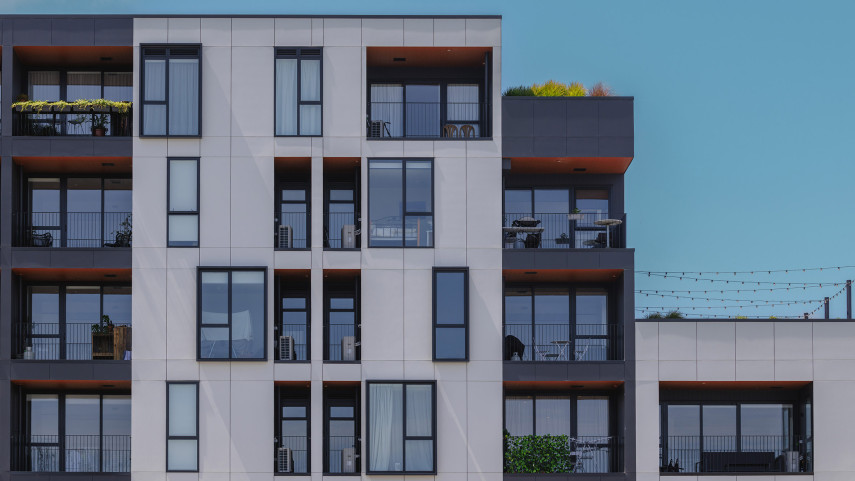
Christchurch withdraws from further housing intensification
Christchurch’s bid to opt out of further housing intensification has been accepted.
10 Nov 2025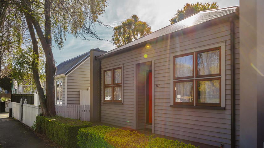
News from the final Council meeting of the term
At its last meeting of the triennium, Christchurch City Council make a number of decisions including on a heritage plan change, temporary improvements to a street in the Central City and a new footpath upgrade programme.
17 Sep 2025