Walk in historic footsteps – and get fit – on this route constructed in 1850 for Canterbury's first European settlers travelling between Lyttelton and Christchurch.

| Start | Car park at the foot of the Gondola, Heathcote |
|---|---|
| Finish | Bridle Path Road, Lyttelton |
| Distance | 2.4km |
| Time | 1.5 hours one way |
| Toilets | Lyttelton |
| Dogs | Must be kept on a leash |
| Description |
The trail starts in Heathcote at the car park between the Gondola and the Lyttelton tunnel portal. Be prepared for a good workout as it is a steep walk but the views from the summit are well worth the effort. As you walk up you will see what remains of Castle Rock to the west and the massive boulders strewn down the hillside in the Christchurch earthquakes. There are a number of memorial seats on the way up and a stone shelter at the top to commemorate the pioneer women of Canterbury. Pause at the Summit Road to enjoy the panoramic view over Lyttelton Harbour with Banks Peninsula's highest peak, Mt Herbert (Te Ahu Pataki) rising above the small settlement of Diamond Harbour. From here you can head back the same way, pick up the Crater Rim Walkway in either direction or continue on to Lyttelton. The track to Lyttelton descends steeply before joining up with Bridle Path Road. On Saturdays, you can visit the popular Lyttelton Farmers Market. Catch the 28 Bus back through the tunnel to Heathcote near the Bridle Path car park. An alternative walk is to catch the Gondola up to Mt Cavendish and walk down. Get ready for this track using Plan My Walk(external link) by the NZ Mountain Safety Council. You can find track alerts, weather forecasts, trip reviews and a packing list, so you are set for your adventure. |
Walking tracks
Shared use
Connecting tracks
Closed
Parking
Bus stop

Toilets
Water fountains
Accessible tracks

Challenging feature

Entry and exit point

Point of interest
Related news

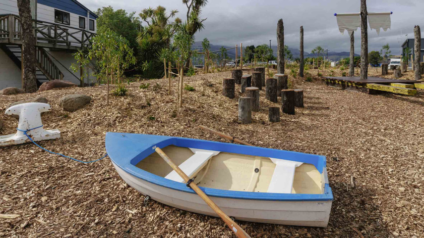
New play space at Lyttelton’s Naval Point now open
A ‘sinking ship’, monkey bars and dinghy are all features of a new play space at Naval Point.
14 Jan 2026
Local students bring fresh ideas to Hoon Hay Park
Students at Te Kōmanawa Rowley School have stepped into the role of landscape architects – designing, prototyping and constructing a new play space in Hoon Hay Park.
12 Jan 2026Design approved for Shirley Community Facility
Plans for a new Community Facility at Shirley Reserve have been approved by the local Community Board.
17 Dec 2025