This steep track is an alternative way of getting down to Lyttelton from the Summit Road.

| Start | Cavendish Saddle, Summit Road, Port Hills |
|---|---|
| Finish | Ross Terrace, Lyttelton |
| Distance | 1 km |
| Time | 30 minutes one way |
| Dogs | Must be kept on a leash |
| Description |
In the 1850s, publican and run holder Major Alfred Hornbrook formed much of this track to access Lyttelton from his home in Mt Pleasant. From the layby at Cavendish Saddle, cross the cattle grid and pick up Major Hornbrook Track heading downhill towards Lyttelton. The track leads you under rocky bluffs before descending through a field of boulders and regenerating bush in Major Hornbrook Reserve. Continue on until the track joins Ross Terrace. Turn left onto Ross Terrace and continue across Cornwall Road. Turn right at Canterbury Road which will take you straight down to London Street and the heart of the town. Get ready for this track using Plan My Walk(external link) by the NZ Mountain Safety Council. You can find track alerts, weather forecasts, trip reviews and a packing list, so you are set for your adventure. |
Walking tracks
Shared use
Connecting tracks
Closed
Parking
Bus stop

Toilets
Water fountains
Accessible tracks

Challenging feature

Entry and exit point

Point of interest
Related news

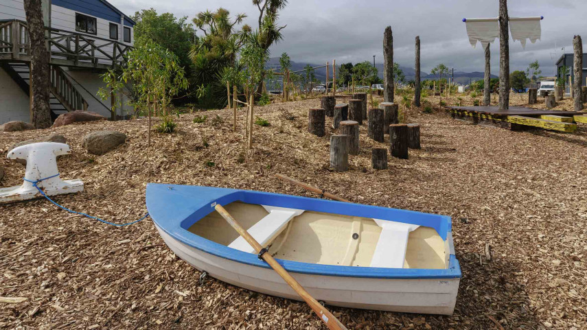
New play space at Lyttelton’s Naval Point now open
A ‘sinking ship’, monkey bars and dinghy are all features of a new play space at Naval Point.
14 Jan 2026
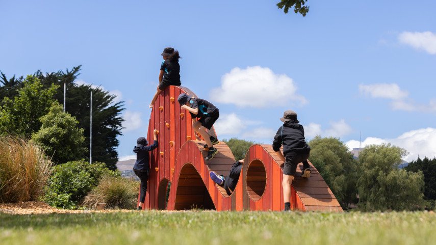
Local students bring fresh ideas to Hoon Hay Park
Students at Te Kōmanawa Rowley School have stepped into the role of landscape architects – designing, prototyping and constructing a new play space in Hoon Hay Park.
12 Jan 2026Design approved for Shirley Community Facility
Plans for a new Community Facility at Shirley Reserve have been approved by the local Community Board.
17 Dec 2025